About Wulingyuan

Understand Wulingyuan through its landform, waterways, ecology, culture and conservation.

Foreword: Discover Wulingyuan
Foreword: Discover Wulingyuan

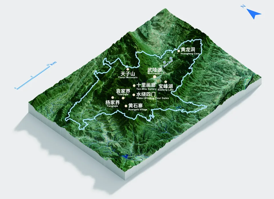
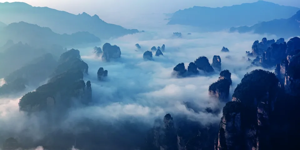
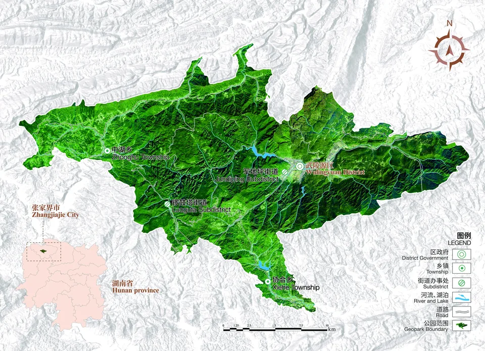
Wulingyuan lies in northwestern Hunan, in the upper and middle reaches of the Lishui River within the Wuling Mountains. Its recorded extent is 110°20′30″–110°41′15″ E and 29°16′25″–29°24′25″ N. Complex geology has shaped the sandstone peaks and waterways for which the area is known.

The district’s visitor attractions include the 5A-rated Zhangjiajie National Forest Park, the independent 4A-rated Baofeng Lake and Yellow Dragon Cave, and three 3A-rated attractions: the Zhangjiajie Giant Salamander Science Museum, Charming Xiangxi and Xiongfeng Culture and Art Park. Evening performances include Charming Xiangxi, Zhangjiajie Romance and Dreamlike Zhangjiajie. Cultural venues include the Zhangjiajie UNESCO Global Geopark Museum, Xiangxi Mansion and the Greater Xiangxi Memory Exhibition Museum. The sandstone landscape is associated with Avatar and has served as a filming location for Chinese productions including Dream of the Red Chamber, Journey to the West, Zhong Kui: Snow Girl and the Dark Crystal, and Monster Hunt.
Introduction to the geopark

Introduction to the geopark

In 1982, China’s first national forest park, Zhangjiajie National Forest Park, was established here. Wulingyuan became a national scenic area in 1988 and entered the UNESCO World Heritage List in 1992. In 2001, Premier Zhu Rongji visited Huangshizhai and wrote a poem about Zhangjiajie’s mountain scenery. The area joined the first group of global geoparks in 2004, received a national 5A tourism rating in 2007 and was recognised as a National Civilised Scenic Tourism Area in 2008. In 2010, its distinctive quartz-sandstone peak-forest landscape became known as the Zhangjiajie landform.

Wulingyuan was designated a national all-for-one tourism demonstration area in 2019, when former UN Secretary-General Ban Ki-moon also visited. In 2021 it joined the first national sports-tourism demonstration bases, and Gaoyun received a provincial tourism-resort designation. In 2022 it received recognition relating to Journey to the West screen culture, youth nature education and overseas-Chinese cultural exchange; Hunan also approved a tourism homestay development pilot area. Nobel laureate Mo Yan wrote a tribute to the landscape that year.

In 2023 the area received the China Natural Oxygen Bar designation and appeared in tourism-development and ecological-tourism rankings. In 2024 it received a provincial designation for youth exchanges with Hong Kong and Macao, joined a climate-and-wellness pilot programme and featured in inbound-tourism and rural-tourism selections. Destination information updated in October 2026 records inclusion in the first Zero-Carbon Destinations list and the AT Asia tourism awards in 2025.

Landforms and waterways

Landforms and waterways

Wulingyuan lies within the Wuling Mountains, where the northeastern Yunnan–Guizhou Plateau gives way to the lower mountains of northwestern Hunan. Medium and low mountains dominate; the terrain is generally higher in the northwest and lower in the southeast.

The highest point in the Tianzi Mountain area is recorded at 1,264.5 metres above sea level; the lowest point near Yellow Dragon Cave is 269 metres. The Zhangjiajie sandstone landform and karst landforms occur alongside eroded structural terrain and river deposits.

Rainfall supplies the waterways, with regional records recording 1,380–1,450 millimetres annually, mainly between April and July. Different rock formations produce streams, rivers, springs, waterfalls and pools.

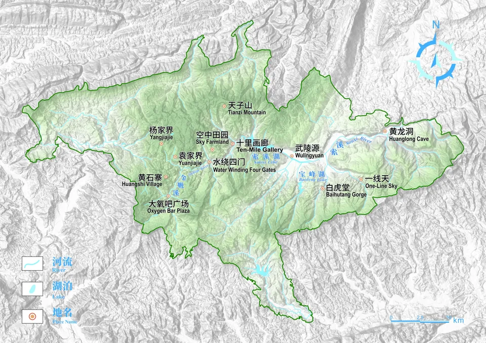
The area has 34 streams and rivers. The 68-kilometre Suoxi flows into the Loushui, a tributary of the Lishui; Golden Whip Stream runs from the forest park towards Suoxiyu. There are 21 waterfalls and 29 larger springs. Tianxuan Bailian waterfall reaches a recorded height of 200 metres during high-water conditions. Baofeng Lake and Suoxi Lake are artificial lakes; Tianchi on Tianzi Mountain is natural. Underground waters include Yellow Dragon Cave’s Xiangshui River, recorded as 1,250 metres long, about 3 metres wide and 2 metres deep on average. Forested gorges create sheltered microclimates that differ from the exposed summits.

Geological evolution of the Zhangjiajie landform

Geological evolution of the Zhangjiajie landform

Around 380 million years of geological history underlie the Zhangjiajie landform. Coastal deposition, uplift, compression, erosion, river incision, weathering and collapse shaped quartz-sandstone peak forests, gorges and caves. Records indicate about 3,800 stone peaks, commonly with a relative relief of 100–300 metres.

During the Middle Devonian, approximately 380 million years ago, this was a coastal environment. Waves sorted durable quartz sand. Thick Yuntaiguan Formation quartz sandstone accumulated during the later Devonian, forming the material from which the landform developed. Iron-rich layers near the top later weathered into the reddish cap locally known as the iron hat.

Following the Hercynian movements, uplift progressively brought the area above sea level. Between roughly 299 and 237 million years ago, changing marine and continental conditions supported biological and chemical deposition. Around 237 million years ago, the Indosinian movements caused widespread marine retreat.

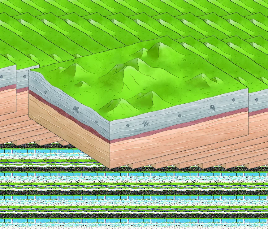
Around 145 million years ago, the Yanshan movements raised the region into a plateau and compressed its strata. The thick, hard quartz sandstone tilted only slightly. Long-term erosion produced a subdued ancient plateau surface called the Xiangxi planation surface. The region was comparatively stable between about 66 and 34 million years ago.

From roughly 33 to 2.58 million years ago, Himalayan tectonic movements brought further uplift. Since 2.58 million years ago, continuing uplift and structural stress have created intersecting joints in the sandstone and broken up the ancient plateau surface.

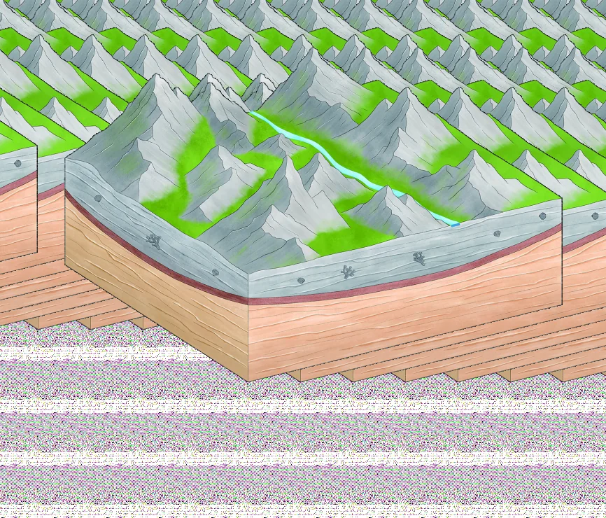
Water cut down through these joints, widened valleys and separated the thick sandstone into prism-shaped pillars. Different stages of this continuing erosion are visible across the landscape, helping explain the progression from walls and clustered peaks to isolated pillars.

Climate and plant life

Climate and plant life

The mountain-basin setting belongs to the northern part of the mid-subtropical climate zone and has marked local microclimates. Records indicate an annual mean temperature of about 12.8°C. Forests and valleys offer sheltered surroundings, but visitors should prepare for changing temperatures, rain and walking conditions.

Wulingyuan’s varied plant communities include evergreen broadleaf forest mixed with conifers and deciduous trees. Botanical research describes the area as preserving features of historic Yangtze-basin vegetation. Botanical research records approximately 751 woody plant taxa, including varieties, across 298 genera and 102 families.

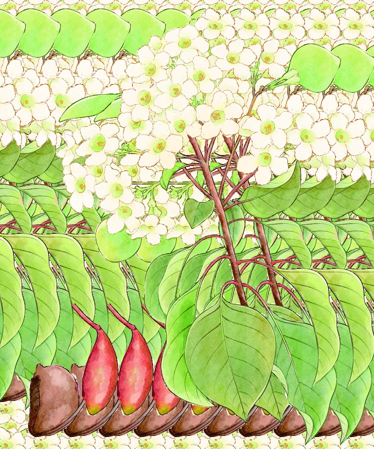
Rare trees include dove tree, ginkgo, purple-stemmed stewartia, Chinese white yew, Chinese plum yew, water tree, Dipteronia sinensis, fragrant tree and bell-calyx tree. Old trees are living components of the natural heritage. Well-preserved forest remains in Shentangwan and Heicongnao; records include trees more than 460 years old, a tree 43.5 metres tall and a ginkgo in Zhangjiajie village 44 metres tall. Dove trees at Yaozizhai are nationally protected. Protecting these habitats is essential to conservation and research.

Rare plants and wildlife

Rare plants and wildlife

District statistics record 35,000 hectares of forest land, 29,800 hectares of forest and 3.647 million cubic metres of standing timber, with district forest cover of 85.18%. National public-benefit forest totals 504,249 mu, comprising 83,937 mu of state-owned forest and 420,312 mu of collective or individual forest. These district-wide figures should not be confused with a percentage for an individual visitor site.

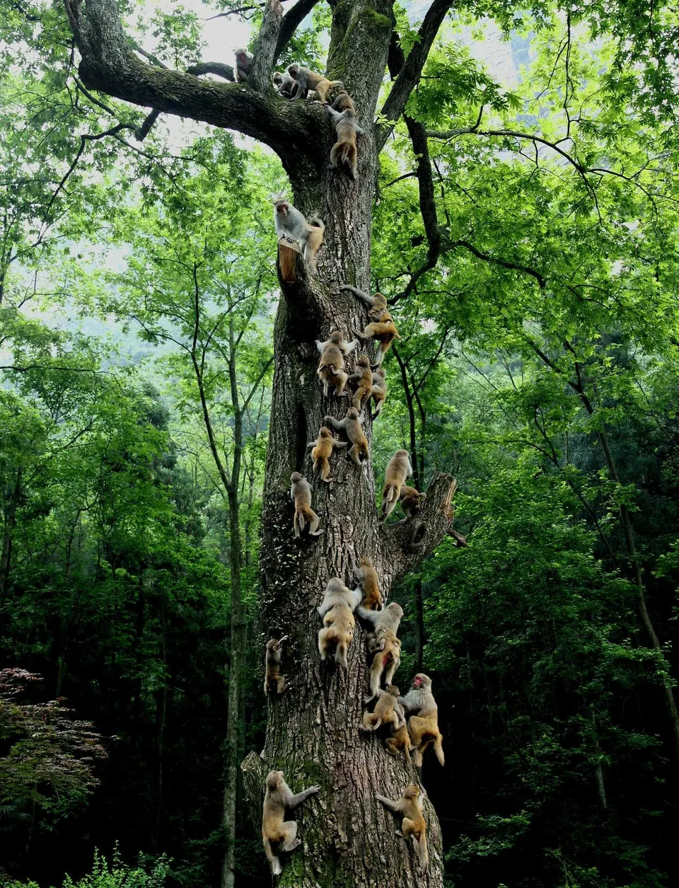
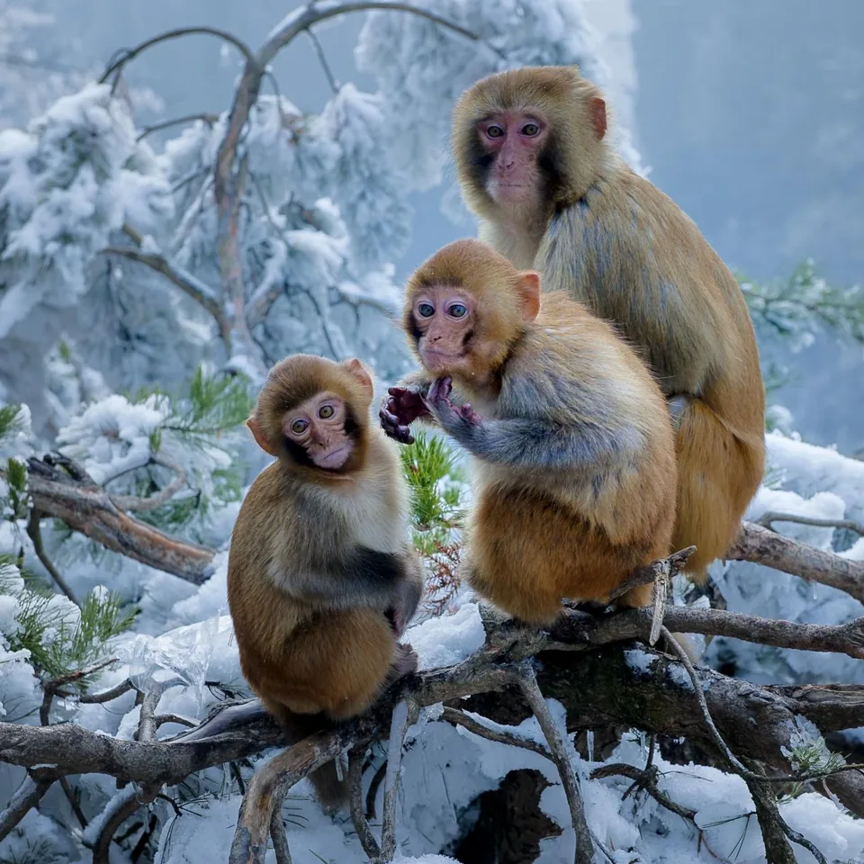
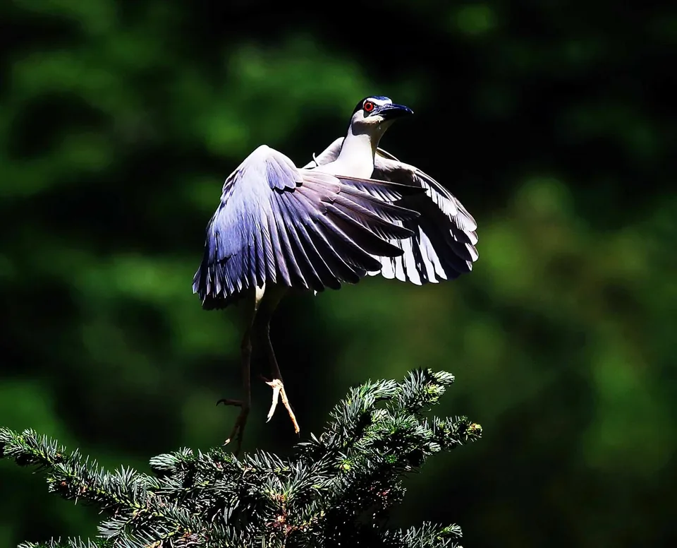
The area lies at a transition between western mountain plateaus and eastern hills in the Central China part of the Oriental zoogeographic realm. A preliminary survey recorded 368 terrestrial vertebrate species: 38 amphibians, 45 reptiles, 234 birds and 51 mammals. Eight nationally first-class protected species recorded locally are Elliot’s pheasant, golden eagle, yellow-breasted bunting, Chinese pangolin, clouded leopard, large Indian civet, small Indian civet and forest musk deer. It also records 48 nationally second-class protected species, 226 species on the three-values wildlife list and 125 provincially protected species. Reported diversity indices are Shannon–Wiener 3.88, Simpson 0.97 and Pielou evenness 0.55. Observe wildlife from a distance; do not feed, disturb or collect it.

Cultural heritage

Cultural heritage
Cultural heritage
Cultural heritage

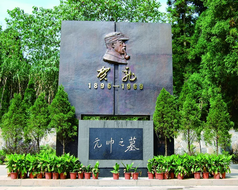
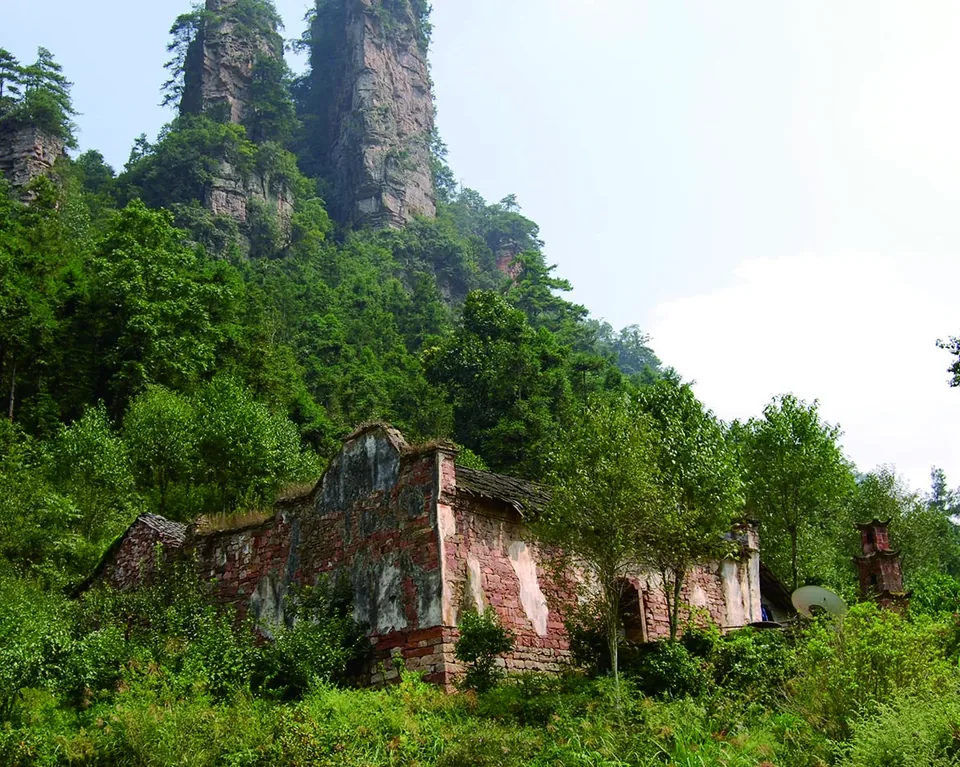
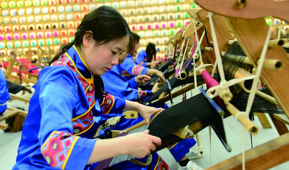
People have lived in the Wulingyuan area for more than 2,000 years. Tujia, Bai, Miao and other communities continue to maintain distinctive local traditions. Longfeng Temple and He Long’s tomb are provincial cultural heritage sites; the area also contains historic buildings, tombs and stone inscriptions.

Local heritage records list two provincial intangible-cultural-heritage items: traditional cliff-climbing and gathering skills, and pyrography. Six municipal items include the legend of King Xiang, dongdongkui music, three-stick drumming, traditional kudzu processing, Yuquan tribute-rice cultivation and processing, and Tujia bamboo-pole dancing. It also records five municipal tradition bearers, one demonstration base, two heritage workshops, 35 district heritage items and nine district cultural relic sites.

History

History

In 1934, the Second and Sixth Red Army Corps established a revolutionary committee in Dayong County. After 1949, local administrative arrangements changed; a state-owned Zhangjiajie forest farm was established in 1958.

China’s first national forest park was established at Zhangjiajie in September 1982. Hunan approved the park management office in 1983.

In May 1988, Dayong became a prefecture-level city, with Cili and Sangzhi counties and the new Wulingyuan District. The Wulingyuan District government formally began work in June 1989, also carrying the scenic-area administration name. In April 1994, Dayong City was renamed Zhangjiajie.

In 2001–2002, conservation work removed 126 unauthorised structures in the core scenic area, covering about 200,000 square metres, and relocated 200 households comprising 1,130 people. Vegetation was restored on former residential, business and cultivated land. A master plan prepared with Peking University specialists in 2003 addressed sandstone, caves, old trees, rare wildlife and environmental protection.

Core scenic-area management reform began in January 2015, establishing a unified scenic-area and national forest park administration. A further reform phase began in August 2022.

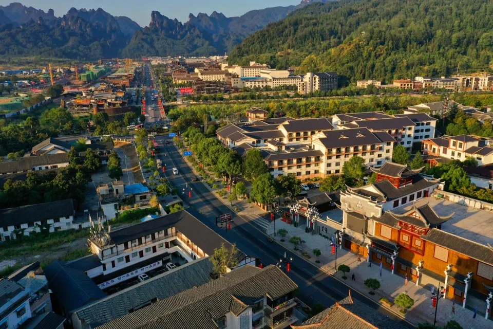
As of October 2026, district information lists Zhonghu and Xiehe townships, Jundiping, Luoguta, Tianzishan and Suoxiyu subdistricts, 18 residents’ committees, 15 village committees and 381 local groups.

Geopark construction and development
YearDevelopment
2010The International Association of Geomorphologists designated the Geopark as the naming site and place of origin for the "Zhangjiajie Landform".
2007The Geopark became one of the first national 5A-level tourist attractions.
2004The Geopark, along with 8 other geoparks in China and 17 members of the European Geoparks Network, jointly established the Global Geoparks Network, becoming one of the world's first Global Geoparks.
2001The former Ministry of Land and Resources approved the establishment of Zhangjiajie National Geopark and the founding of the Zhangjiajie Geopark Administration.
1992The Geopark was inscribed on the UNESCO World Heritage List, becoming one of China's first World Natural Heritage sites.
1988The Geopark was approved by the State Council as a national-level scenic area.
1982The protection and development of the Geopark's resources first began in the 1980s. In 1982, China's first national forest park, Zhangjiajie National Forest Park, was approved for establishment, initiating the development of Zhangjiajie's tourism industry.

Source: 2026 visitor guidebook.

Opening hours, tickets, transport and visitor services may change. Check the latest official information before travelling.